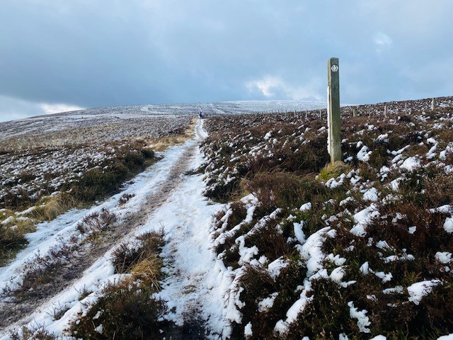
29/03/25 – With only 8 weeks to go until Cape Wrath ultra I needed to get a long run with similar (ish) terrain. Luckily, I have the Kilpatrick hills on my doorstep and not much time to go further adventuring so route was set. Well, it wasn’t really, I roughly had in my head what I was going to do but with potential to adapt along the way. My only aim was to be out for over 5 hrs and minimum of 40 km. I managed that with 40km / 1350m elevation / just over 5hrs.
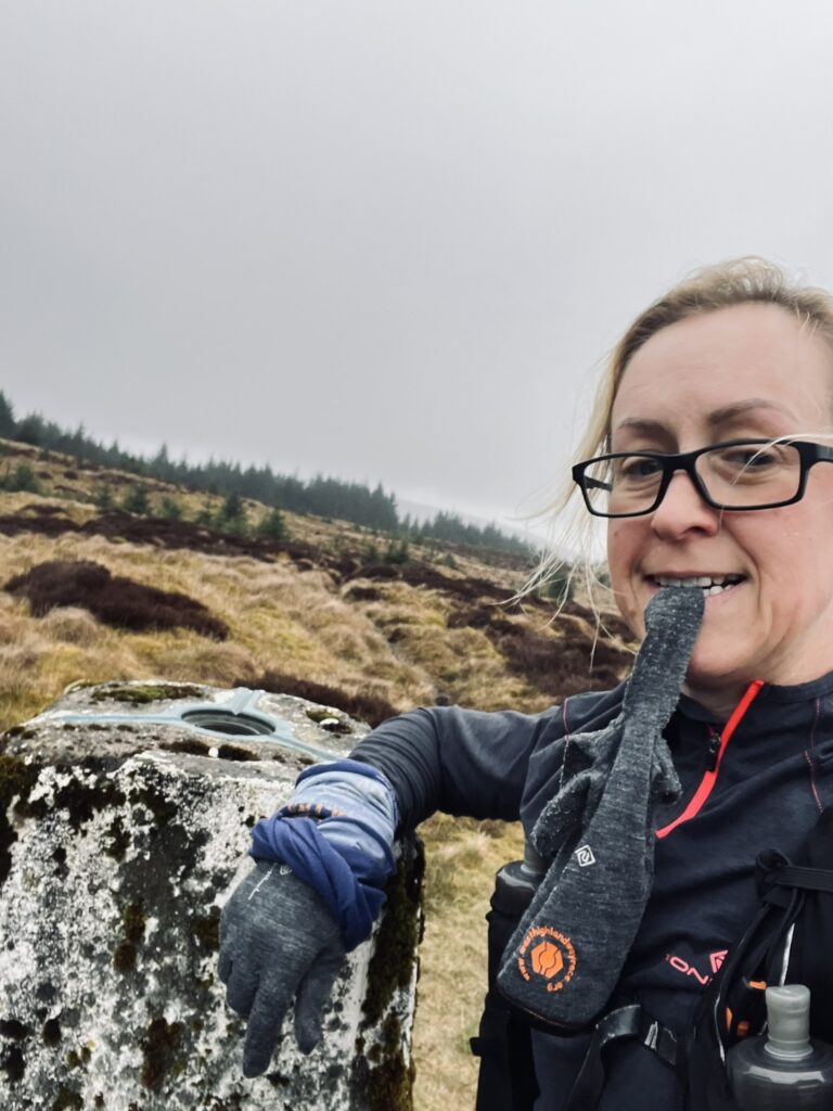
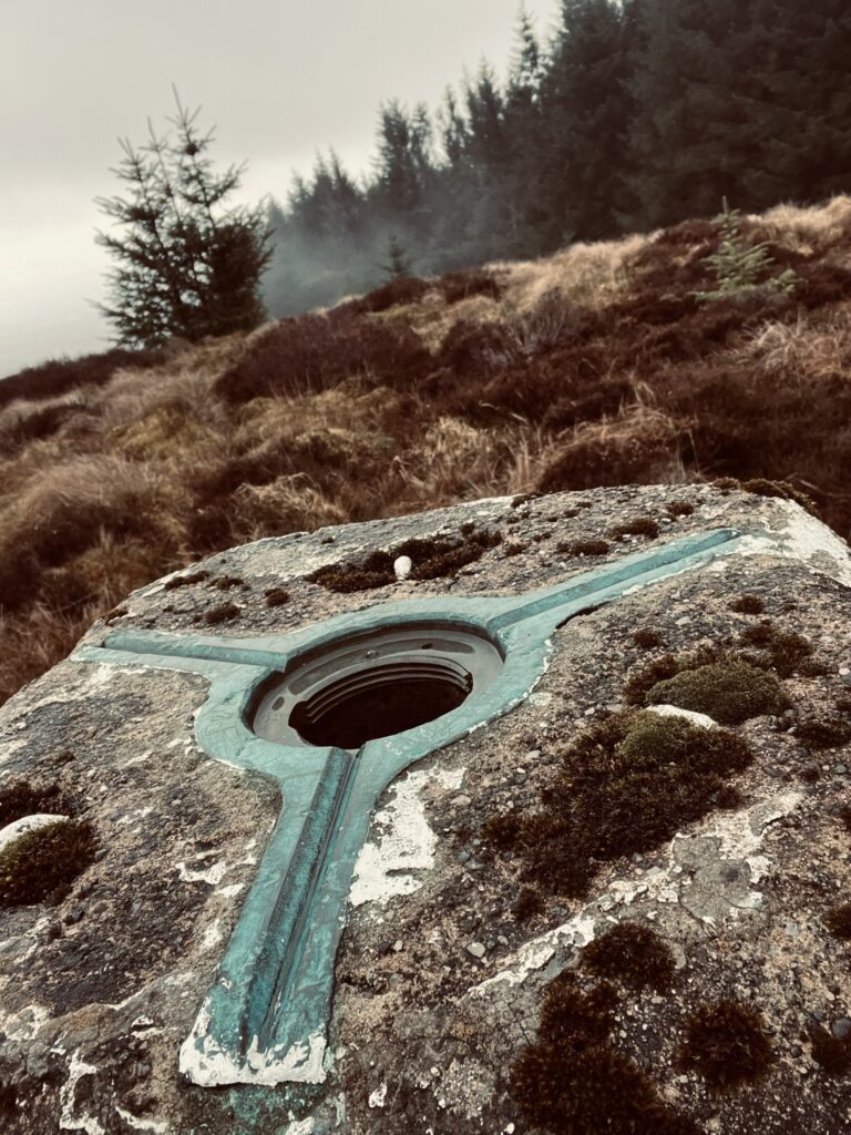
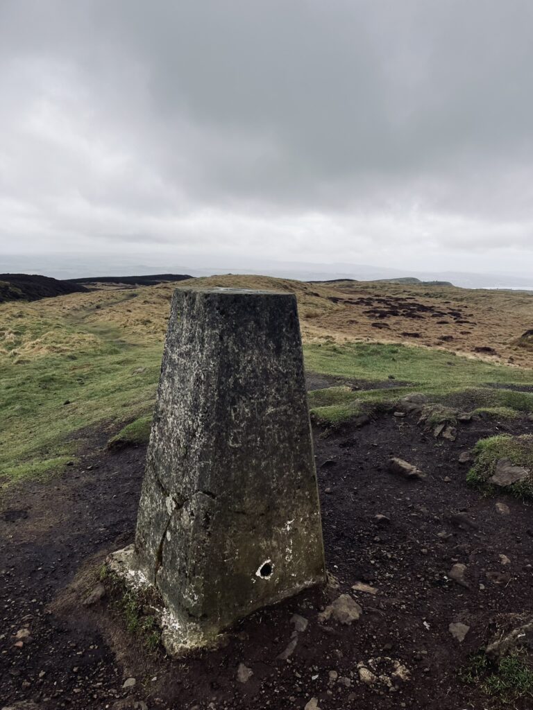
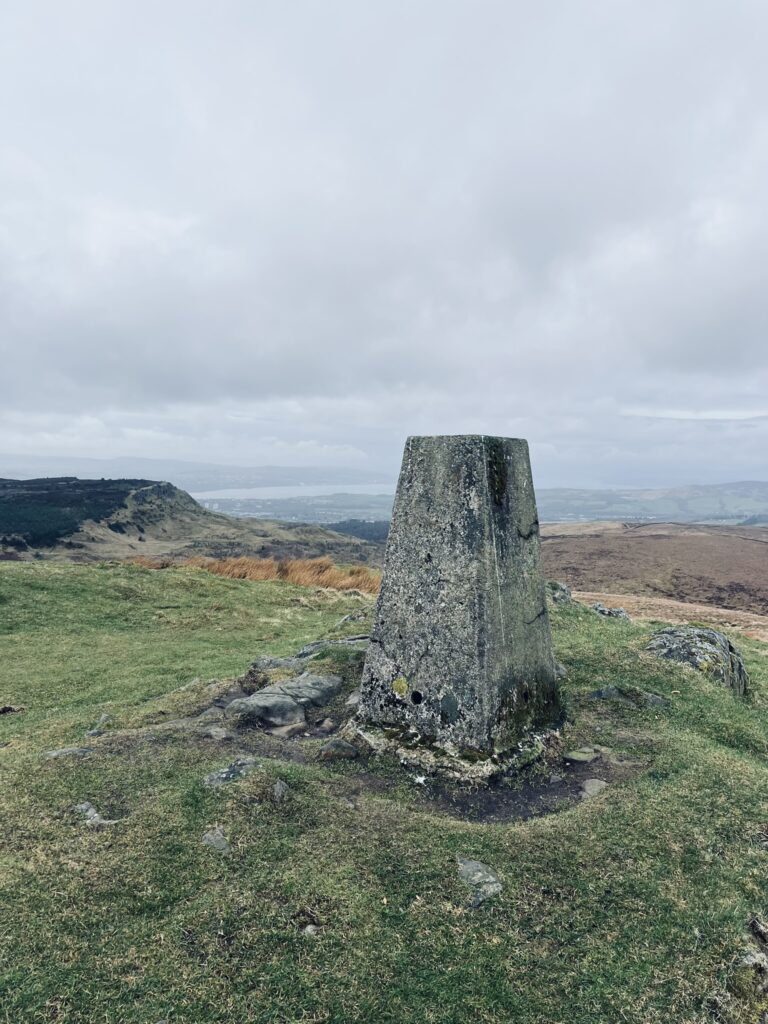
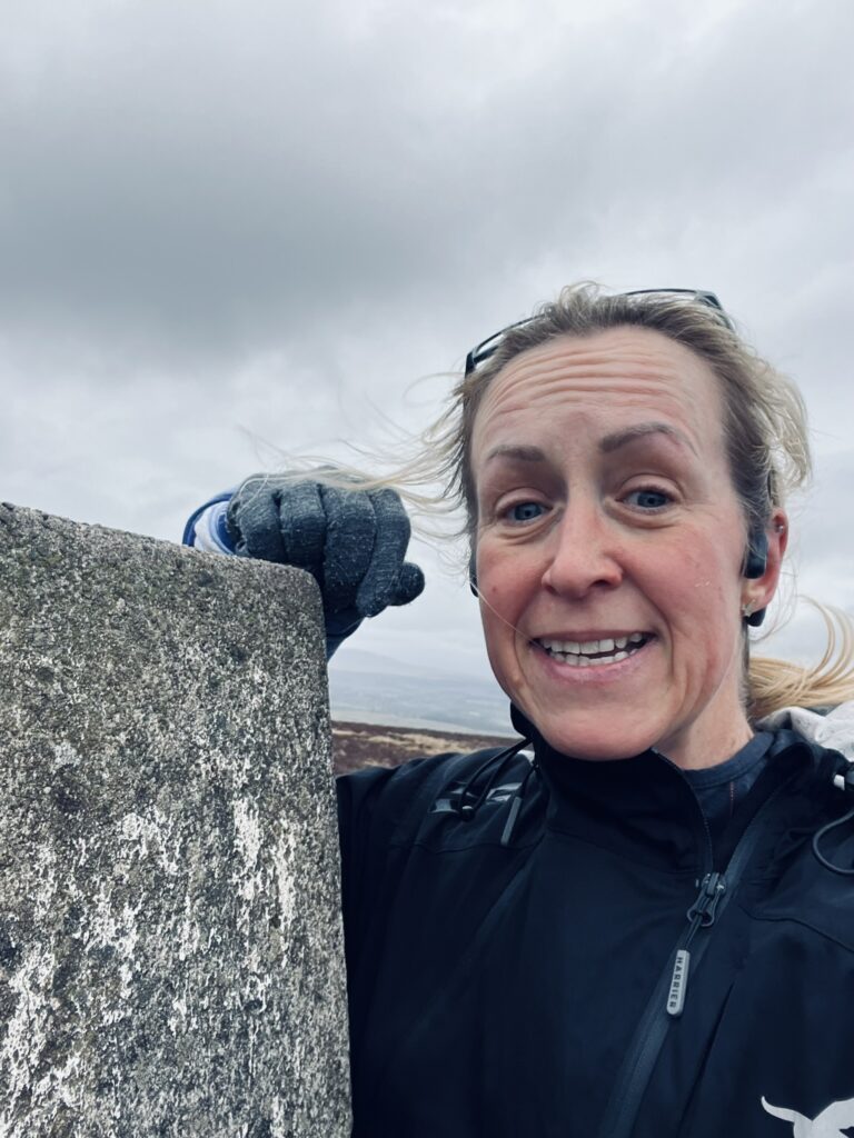
So, the route. This route can be started from anywhere around Milngavie or Bearden so long as can made the first point of Jesus Thimble. I headed round from Douglas Academy and up the wee trail between the two fields onto Camstradden Road and then picked up the Clyde Coastal Path. The CCP crossed Stockiemuir Road, up a little trail between two houses and into the stinky uphill sheep field. Straight to the top then onto the far track until there is a right turn and over a cattle grid. At the end of the trail/where the pylon is, it’s time to veer left and up the hill. There is usually a wee sheep trod to follow. Through what’s left of a stone wall and gate then continue up the hill with trees on the left until find the white trig aka Jesus Thimble.
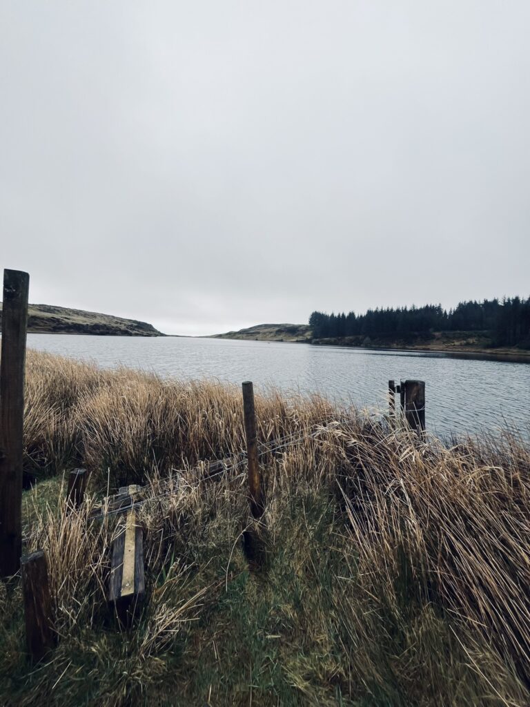
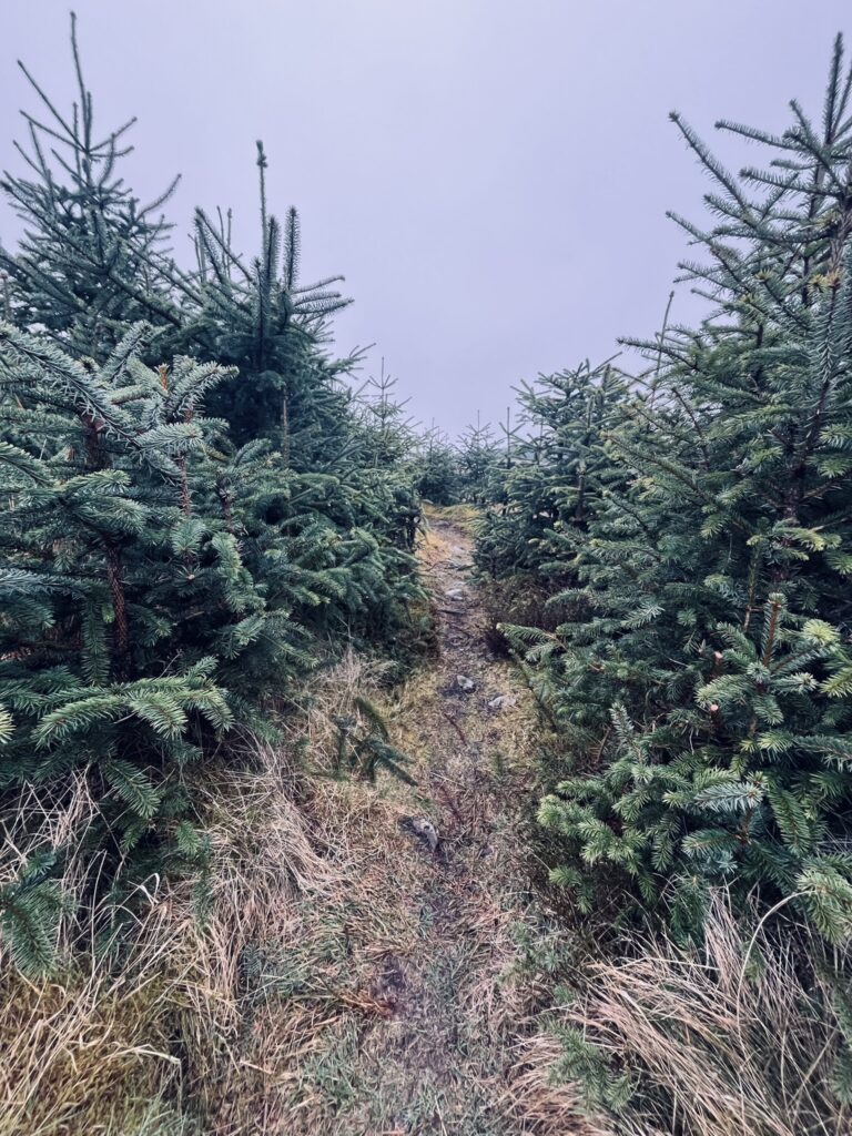
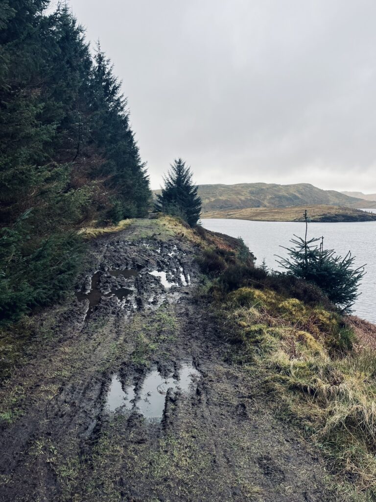
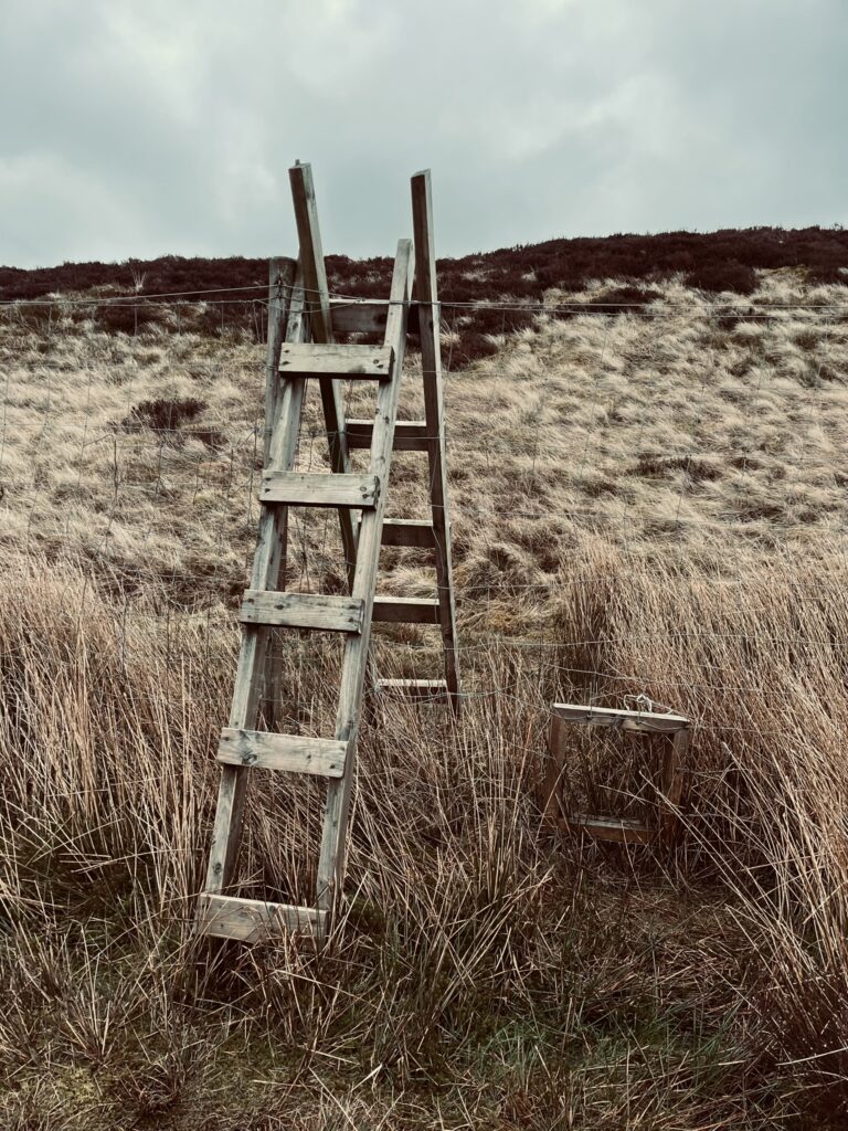
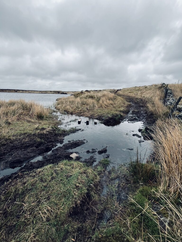
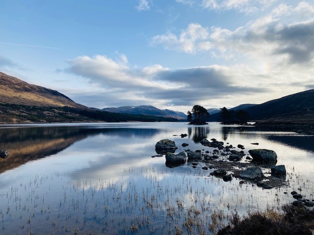
I love the next bit where it’s approx. 1km along the boggy trod along to Lucifers loch. When the loch appears it’s just stunning and always time for a picture. Going round the loch anticlockwise until cross the remnants of a stile and then through the Christmas trees until hit the forestry track. This bit can get confusing. Turn left and go straight ahead ignoring the tracks left and right. Eventually there is a little trail coming off the track to the right that runs along the fence line and has a stile to get over. Now it is any way goes to get up the next hill that’s just in front to the left. It hides the wonders of Black Loch. The trod from the top eventually leads to a stile and then down to the forestry track with Jaw and Cochno reservoirs straight ahead. Left on the track then right onto the trail (the very muddy trail) between the reservoirs and up onto the main Kilpatrick path. This is when you can see down to Erskine and the city. Right turn here and its undulating climbs up and down until hit Greenside reservoir before a steep climb up to another trig up the Slacks.
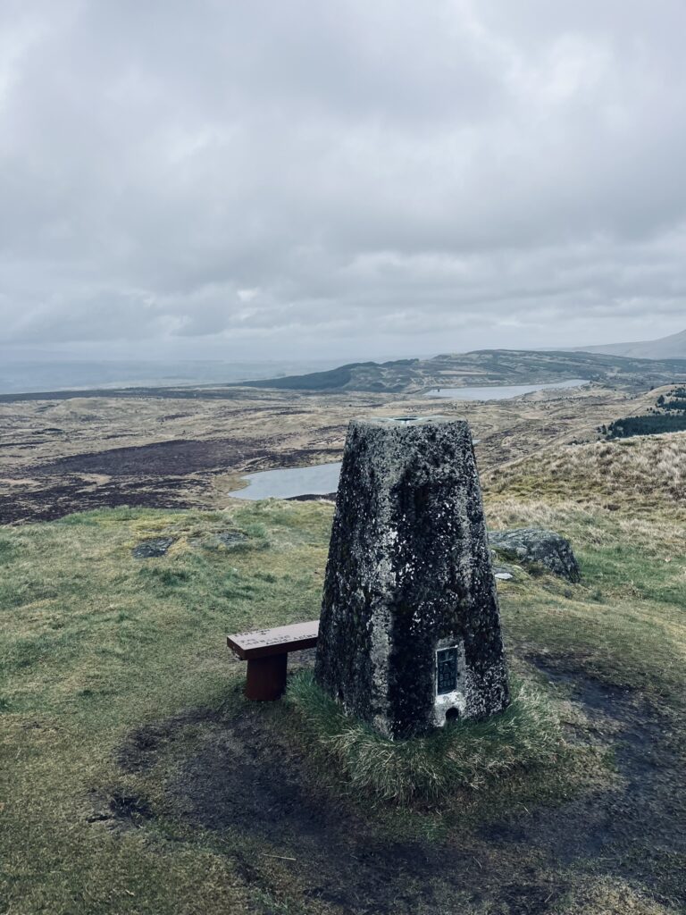
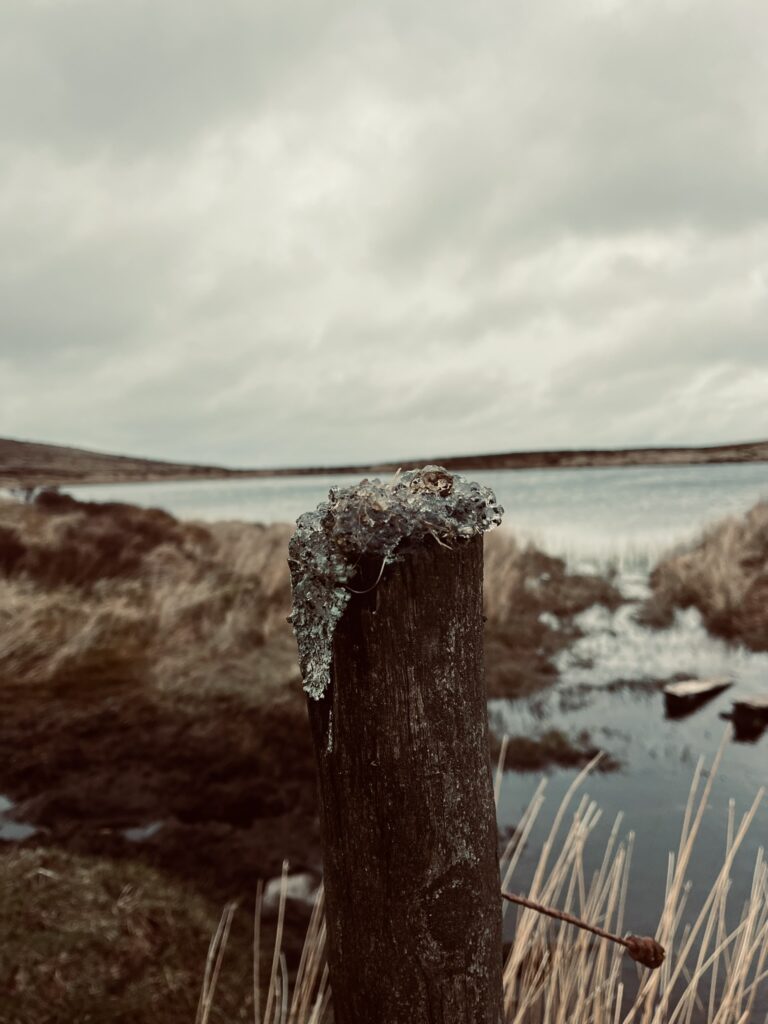
From here I headed down to Loch Humphrey and had to decide if I was going to head for Dumcolm or over to Doughnot. Looking at the distance so far I knew I had to head to Doughnot so off I set. I went round the side of Humphrey and then onto the forestry track. Eventually came to a split where I went right. When I got to Black Linn reservoir I went across the grass bank, through the run off and then up to Doughnot for trig three. It’s now hard to describe but I took the faint trod over to Fyn Loch and then round the loch clockwise, over a wall and followed the trail until I hit Duncolm and trig four. The wind was picking up so it was an up then down before aiming for Burncrooks. Again there is a trod that leads the way although it is quite boggy (this isn’t a route if you want to keep feet dry). At Lily Loch I put my hand on top of a post only to find that I’d just put my hand in spawn. It wasn’t nice! Reaching Burncrooks I headed left and followed it round until I met the John Muir Way sign. I went right to keep the reservoir on my left. Not far through the gate at far end there is a trod up to the left. This is part of the Whangie Wizz if anyone has done it. Following the trod up I eventually reached the Whangie then TRIG 5 at Queens View. Met a lovely couple there who offered me a banana when they realised how far I’d already gone. I declined as had a plan…
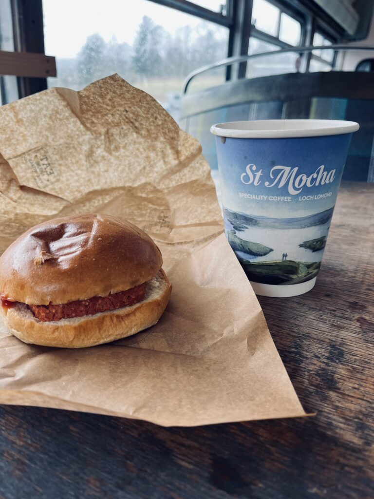
Plan was to run down to nearly Queens View car park before climbing the gate on the right and following the trail. Eventually this hits a private road. Turn right and then after the house on the left there is another gate. Over that and along the trail until reach the road to Edenmill, turn right and keep going to the cafe. I could have stopped there for food but a vegan square sausage in a roll was in my head. So, onto the John Muir Way behind Edenmill and left, following the forestry track round until hit Stockiemuir Road. Now St Mocha was in sight. Straight there and 31km done. Watch paused, cuppa tea, roll and warm up in the bus. I knew from Carbeth it was only 7 km back to Milngavie. Up through Carbeth huts and onto the West Highland Way in the direction of Milngavie (not Fort William!) and a lovely run back. The refuelling certainly helped. I now had done 38km when I reached the obelisk so a long loop home and done.
The Kilpatrick hills are fantastic because I could easily have made this run 10km or 50km, so many options…